Thursday, June 12, 2014

KATY Trail - Day 4 - Matson to Machens (terminus)

A foggy early morning, giving way to sunny skies for a short ride to the end of the KATY trail. Today's ride was still rural (as it has been from the start at MP 264.6 in Clinton) until MP 49 when entering the outskirts of St. Charles. The next ten miles contained some nice riding along the Missouri River and a few of the least attractive sections of trail, at one point detouring around a cement plant. After MP 39 the ride became rural again, entering the river bottomland of the Illinois, Missouri, and Mississippi rivers. Gone were the limestone bluffs and trees, replaced by rich farmland growing corn and soybeans.

The KATY trail ends in the remote hamlet of Machens at MP 26.9, where the Missouri, Kansas, and Texas (MTK or KATY) Railroad connected with the Chicago, Burlington & Quincy (CB&Q) Railroad which continued on to St. Louis. The MKT Railroad stopped running on October 4, 1986 with the line converted to the KATY trail between 1990 and 1996. After Machens, the railroad is still active, hence the KATY trail terminates there.

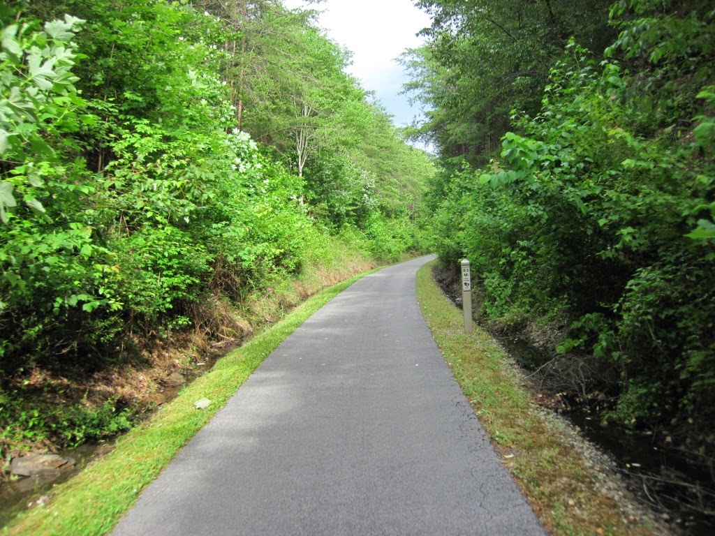
The KATY trail was an enjoyable ride for me. It was well maintained, and on average I saw two maintenance crews per day on the trail cutting brush, mowing grass, or cutting downed trees. Trailheads were well signed with water and clean bathrooms. Cell phone service (we texted) was pretty good except for some spotty areas between Rocheport and Jefferson City. If you are looking for a long distance, serene ride in a beautiful country setting, the KATY is for you.

A foggy start

Weldon Spring Conservation Area

St. Charles Depot along the Missouri River

Black Walnut

River bottomland

Trail's end

Today's ride:

Wednesday, June 11, 2014

KATY Trail - Day 3 - Tebbetts to Matson

Another overcast cool day with temperatures not reaching 70F. A great day for cycling 72 miles.

Today's ride had the Missouri River on the right and limestone bluffs on the left on many occasions. Lewis and Clark signage marked the campsites or other locations mentioned in their journal during late May and early June 1804. Daniel Boone's cemetery was also a mile off the trail near Marthasville.

Start of the day

Bridge over Auxvasse Creek

Near Bluffton

End of the day's ride
Today's ride:

Tuesday, June 10, 2014

KATY Trail - Day 2 - Boonville to Tebbetts

It rained from the time I finished yesterday until Karen and I loaded up the car for today's ride. It was a gray and overcast day with only mist at the start. But it never rained and then the sun came out towards Jefferson City. I pressed my luck and rode another 12 miles to Tebbetts and just as I finished, packed up, and got in the car, it poured. So that is two days of rain I somehow avoided. We've been blessed so far.

The ride today started with a well marked path through Boonville to a bridge to the other side of the Missouri River. I was able to ride a bit faster, though the average MPH did not show it as I made stops on the Missouri River Bridge, the towns of New Franklin and Rocheport, the KATY roundhouse, Pearson's clay tile grain elevator, Lewis and Clark Cave, the Great Burr Oak Tree, and the Roche Percee Natural Arch. 67 miles covered for the day.

That second tour group on the trail is Wilderness Voyageurs out of Ohiopyle, PA. I saw several of their cyclists at a SAG stop at McBaine. Road Scholars was nowhere to be seen today.

Trailhead at Rocheport

Rocheport to McBaine: Cliffs to the left and the Missouri River to the right

A Lewis and Clark stop

The Great Burr Oak Tree and my bicycle

McBaine Trailhead

One of the many bridges spanning creeks and rivers

Another view

Today's ride:

Monday, June 9, 2014

KATY Trail - Day 1 - Clinton to Boonville

A nice first day on the KATY Trail.  About 76 miles cycled with only 1500 feet of climb. The weather forecast was for a 50% chance of rain, going up to 70% in the afternoon, so I spent the day looking over my shoulder at the approaching rain clouds. I was able to finish just as the rain started. Trail conditions were good but I was not able to go very fast. The trail goes through the streets in Sedalia and is not marked north of the train depot. So I got lost until a mailman was kind enough to point me in the right direction.

There were two groups of riders on the trail. One was a group of about 50 riders from an outfit called Road Scholar and I must have passed 40 of them before or after their SAG stop.

Rain is 60% likely for tomorrow, so I am probably going to get wet.

Clinton. The end of the trail was 0.4 miles west from here.

Between Clinton and Calhoun

Before Green Ridge

Green Ridge MM 239

Sedalia Depot

Bridge over the Lamine River
Today's ride (Part 1): Today's ride (Part 2):

Monday, June 2, 2014

A ride on the Chief Ladiga and Silver Comet Trails

I am gearing up for rides on the KATY Trail, C&O Canal Path, and Great Allegheny Passage.  With nothing scheduled today, and the weather cool with no wind or chance of rain, and the humidity low, it was a great day to go long. The plan was to ride from Rockmart to the end of the Chief Ladiga Trail in Anniston, AL and then return.  Still feeling good after 113 miles, I rode back towards Atlanta through the Brushy Mountain Tunnel to Rambo.  A great cycling day.

Cedartown depot

Georgia/Alabama line

Chief Ladiga Trail

Jacksonville Depot

End of the trail at Anniston

Brushy Mountain tunnel
Today's ride: